
What Can Show Des Plaines Neighbors on a Block?
Public sources divide the block into different kinds of evidence. CookViewer defines nearby parcels, the Assessor adds a current property card, and city tools add ward, zoning, permit, and civic context. None is a complete household directory.
| Source | Block Detail Available | How to Access It |
|---|---|---|
| CookViewer | Adjacent parcels, PINs, geometry, layers, nearby results, map and report | Public map, Nearby Search, PDF, CSV or XLSX |
| Cook County Assessor | Owner, tax, property and exemption details for each parcel | Repeat the public address or PIN search |
| Cook County Clerk recordings | Deed parties and transfer chain for each parcel | Public index; copies and older books or microfilm |
| Des Plaines Community Portal | Property summary, representatives, zoning, maps, tax and active permits | Public address search |
| Illinois voter lookup | One registration match supplied with exact identifiers | Public one-person verification, no block export |
| DPPL directories | Historical address and household listings by available year | Library shelf or reference request |
| City and History Center resources | Public organizations, contacts and local history | Public directory or research request, no member roster |
The key distinction is owner versus occupant. A deed or tax card can connect a title party to land. It cannot name every renter, child, partner, relative, or other resident at that address.
Map the Parcels Around a Des Plaines Address
CookViewer supplies the most direct geographic start. Its search modes include PIN, Parcel Address Locator, and Address Locator. After the correct parcel is selected, Nearby Search can populate surrounding candidates, and Print Report can preserve results.
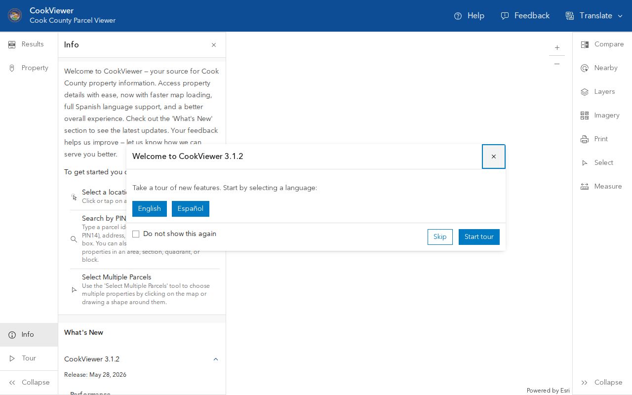
The captured viewer keeps nearby boundaries visible, which helps separate a true shared edge from a parcel that merely has a similar mailing address.
- Search the target address and resolve multiple results with the PIN, boundary, property panel, and map geometry.
- Click parcels sharing an edge and those directly across the street, keeping geographic adjacency separate from any claim of a personal relationship.
- Run Nearby Search from the source parcel and save the resulting PIN set. Export CSV or XLSX, or print a PDF map, when those current controls are available.
- Open each PIN separately in the Assessor or property-information portal and record property location, owner or tax party, mailing address, exemptions, and legal description in distinct fields.
- Use the recording index only when title history matters, and use city channels for public permit, zoning, compliance, or representative context.
For a full run along one named road, the Des Plaines street directory covers the broader address chain.
Read a Des Plaines Parcel Without Guessing
A Cook County parcel result can show the PIN, property location, estimated market and assessed values, characteristics, tax details, exemptions, permit or division clues, and recent neighborhood sales. Those fields describe land and taxation. The tax-mailing address may belong to a trust, agent, lender, prior owner, or owner who lives elsewhere.
CookViewer's map may also include common ownership, multiple units, public land, utility parcels, and parcels whose mailing city differs from Des Plaines. Treat "nearby parcel owner" as the most specific supported statement. If the goal is to identify who actually resides there, another lawful source must independently provide that narrower fact.
Note: A GIS neighbor is an adjacent parcel, not a verified household or a statement that two owners know each other.
Add City Maps and Block Context in Des Plaines
The city's maps page links ward maps and the Community Portal. Des Plaines has eight wards, and current boundaries reflect a May 2022 redraw after the 2020 Census. Old ward material should not be used for a current block without checking the latest city map.
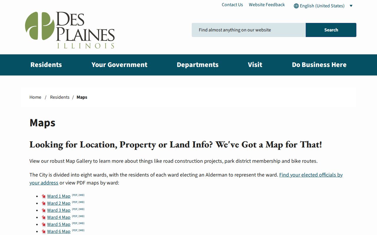
This city screen gives the civic geography around an address without presenting it as a household roster.
The Community Portal can add government representatives, zoning, a map gallery, tax, property, and active-permit tabs. For permit, inspection, or compliance material that is not exposed as a public field search, DP311, the responsible city department, and a focused Des Plaines FOIA request form the documented fallback chain.
Why Illinois Voter Data Is Not a Neighbor List
The Illinois registration lookup verifies one person when the searcher supplies name, birth date, five-digit ZIP code, street number, and street name. It is not designed to browse all voters on a Des Plaines block. A non-match may reflect a spelling variant, changed number, dynamic street selector, old ZIP, inactive status, or another jurisdiction.
Released statewide voter information is controlled by election law and permitted-purpose rules. Sensitive material is withheld, including dates of birth, Social Security or license identifiers, telephone data, street numbers, and other protected details. ACP participants use a special voter-registration process, and ballot choices are never a public block field. FOIA is not a route around those restrictions.
Verified Community Contacts Around Des Plaines
Community sources can connect a block to services and organizations, but research found no city-maintained neighborhood-association directory, umbrella neighborhood council, public block-watch roster, or public HOA membership list. The useful public resources are contact layers, not resident rosters.
| Community Resource | Verified Role | Membership Visibility |
|---|---|---|
| City Community Resource Directory | Public services and civic or community contacts | Public contacts, not member households |
| Des Plaines wards and maps | Current civic geography and representation | No household list |
| Des Plaines Chamber Community Guide | Business members by name and category | Business layer, not residents |
| Kylemore Greens HOA | Name appears in official municipal meeting material | No official public member directory located |
| Longford Glen HOA and Longford Meadows | Names appear in official municipal meeting material | No official public member directory located |
| History Center and DPPL | Archives, local history, directories and research help | Research access, no public member roster |
Public meeting notices and official organization pages can verify a contact or public event. They do not justify inferring membership from an address, surname, photo, or social-media mention.
Des Plaines Community Resources Are a Contact Layer
The Des Plaines Community Resources page is the closest verified official civic-organization index. It points to a public resource directory and useful services, but it does not expose congregation, civic-club, block-watch, association, or household membership.
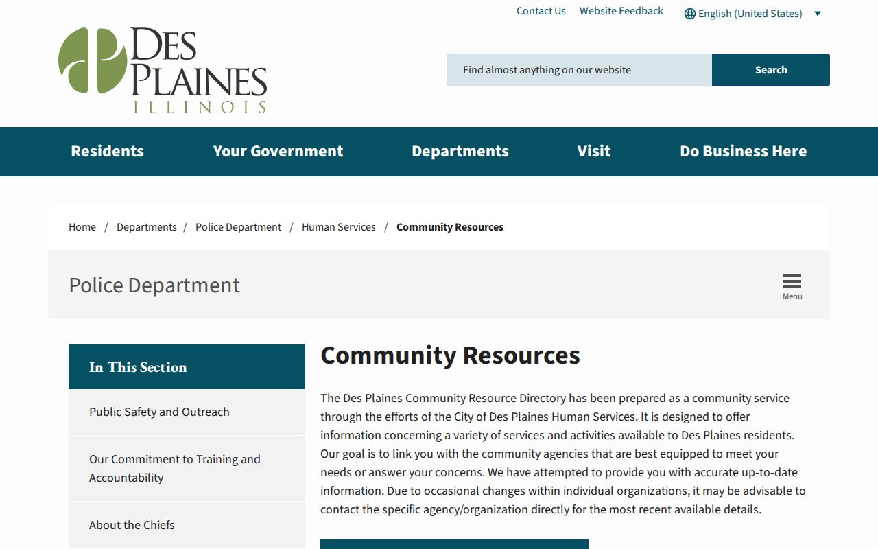
The captured resource page helps find an organization through a public contact route while respecting the gap in member-level access.
When the public directory is not enough, contact the organization, Des Plaines History Center, or library with a narrow request for an archival record, event notice, published guide, or research file. Do not ask an institution to disclose a private living-member roster.
A 1915 View of Des Plaines Neighborhood Life
Des Plaines Memory's "On the Streets of Des Plaines 1915" collection gives a rare visual block layer. Street scenes, signs, businesses, buildings, and people can be compared with deeds, directories, newspaper notices, and today's parcel map. Other digital collections cover Maine Township schools, business, wartime life, recreation, postcards, letters, diaries, and manuscripts.
The historic map needs place-name care. Maine Township, Rand, Orchard Place or Farwell, Riverview, the railroad corridor, and the modern city can describe related ground in different eras. A photograph caption or archive tag should remain a lead until its date, person, business, or address is confirmed in the original institution or a second record.
Official Block Records Versus Commercial Tools
The two categories answer different questions. Official systems preserve narrower provenance, while commercial neighbor tools may merge sources and display stale associations. A concise comparison prevents a convenient result from becoming an unsupported household claim.
| Measure | Official Des Plaines or Cook Source | Commercial Category |
|---|---|---|
| Primary unit | Parcel, PIN, deed, permit, ward, or one registration match | Combined person and address profile |
| Source meaning | Defined by the custodian and record type | May blend public and licensed data |
| Correction route | Custodian process, city request, or source record | Provider-specific correction or opt-out |
| Best use | Verify one supported fact at a time | Treat as an unverified lead |
When the categories disagree, return to the current custodian, save the date and record identifier, and preserve the distinction between property owner, tax addressee, registered voter, historic listing, and actual occupant.
What Stays Private About Des Plaines Neighbors
A public parcel map does not show who is physically present. Non-owner household members, utility accounts, delivery data, most association memberships, DMV addresses, protected voter addresses, sensitive voter identifiers, sealed or juvenile court details, adoption files, and restricted vital records remain outside a lawful block lookup.
The Illinois Attorney General's Address Confidentiality Program provides a substitute address and special voter-registration route for qualifying survivors. Its participants' confidential addresses must not be exposed. The program also warns that confidentiality of property records cannot always be assured, which is a reason for restraint, not an invitation to connect scattered clues.
Lawful use. Learn about your block, reconnect, or confirm civic facts without watching, harassing, threatening, or intimidating any Des Plaines resident.